
Grand Canyon Photos
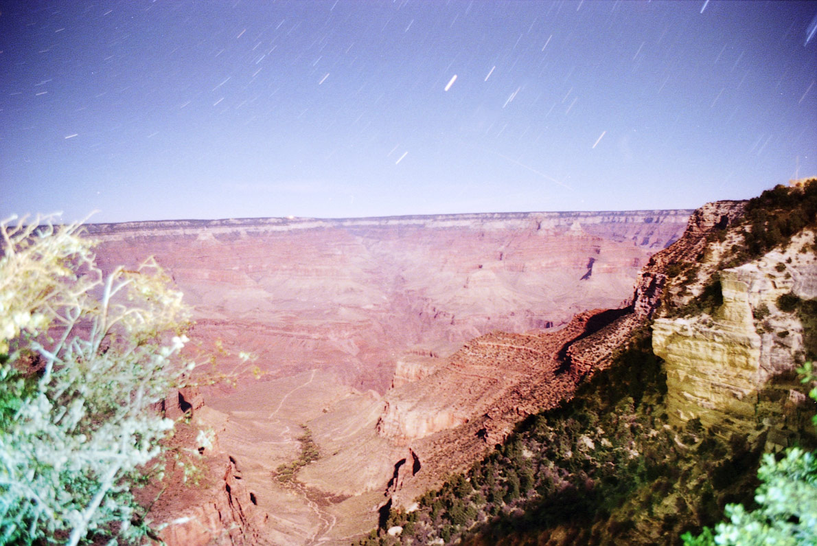
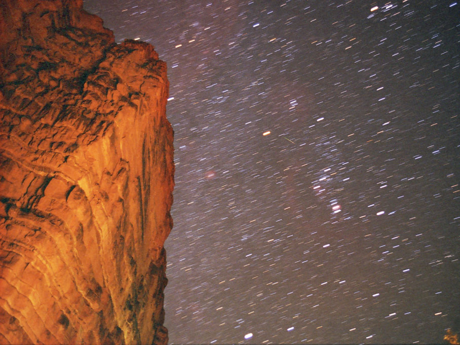
Grand Canyon in Moonlight (5 minute exposure, ASA 400, f2.8)
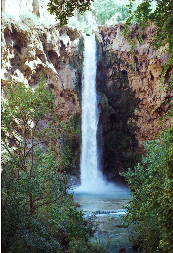
Havasu Canyon Photos
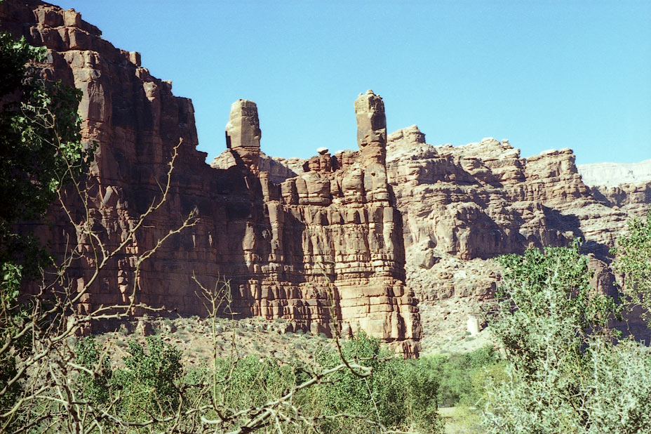
Twin Towers of Wigleeva, entering Supai village
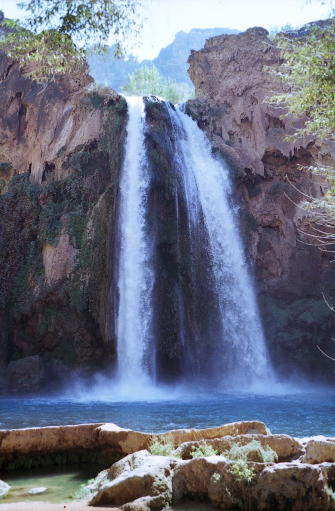
Blue Green Pools of Havasu Falls (bird's eye view)
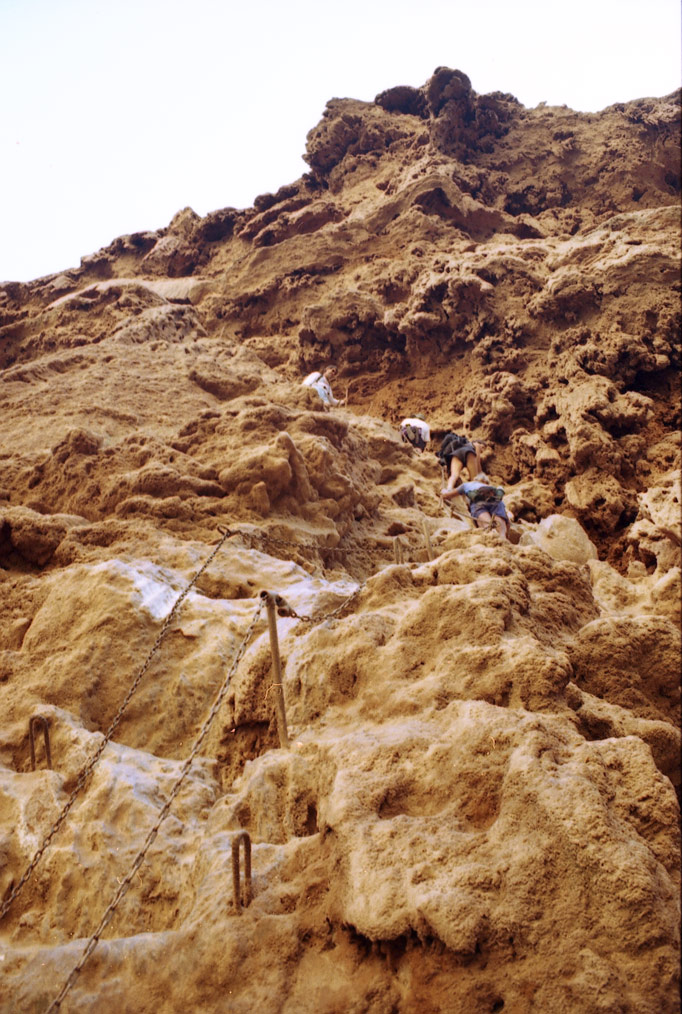
The Descent to Mooney Falls (almost vertical in places)
All Images Copyright Steve
Cannistra
Grand
Canyon and Havasu Canyon
In
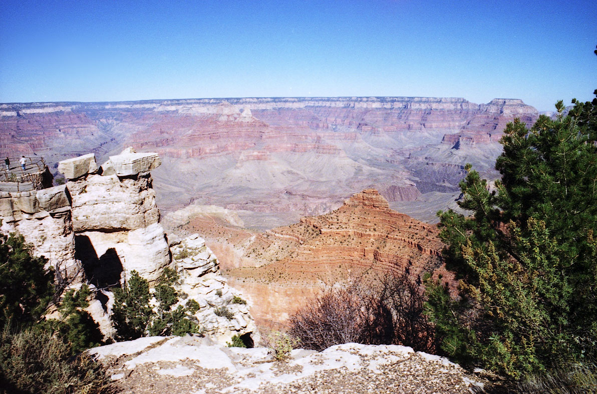
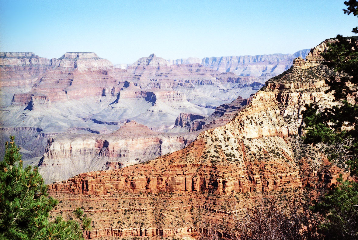
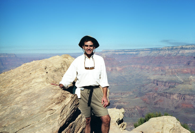
October, 1999 I hiked from the South Rim of the Grand Canyon down to
Phantom Ranch by way of the South Kaibab Trail. This well
maintained trail offers great canyon views and is quite easy to hike,
as long
as you are prepared for a constant downhill trek for 9-10 miles.
Phantom
Ranch itself provides very basic accomodations, and the dormitory style
quarters
are not particularly comfortable. I found it difficult to sleep
and
frequently wandered outside during the night to catch great views of
the
clear, southwestern night sky (as well as numerous bats). The
next
day I hiked back up the Bright Angel Trail starting around 6 AM,
beginning
a constant uphill climb out of the canyon which was about 9 miles in
length
and very enjoyable. The vertical climb from bottom to top is
about
5000-6000 feet. There are many great links which offer lots of
information
about the Grand Canyon. One of the best that I have found is the Grand Canyon Explorer. Also
check
out the geology of this area at Grand Canyon Geology.
Several of my photos are listed below, including some long exposure
photos taken at night.
Traveling west on Route 66, we next visited the Havasu canyon. "Havasu" is an indian term for blue-green water, and "pai" is the indian term for people. The indians of the Havasu Canyon are therefore referred to as Havasupai, and their village (Supai) is situated next to some of the most beautiful waterfalls in the world. The hike down to Havasu Canyon is about 8 miles, and it's another 3 miles or so to the waterfalls once you reach the village. The blue-green color of the pools is created by calcium carbonate which is deposited by the falls (after being leached out of the limestone layers of the Colorado plateau). The calcium carbonate mixes with vegetation in the pools at the bottom of the falls, congealing over time to create a rock-hard substance called "travertine." The travertine bottom of the pools reflects the blue of the sky and the green of surrounding vegetation back through the water, creating the blue-green color you see in some of my photos.